U-6187 - Extend Baltimore Rd and construct new interchange over I-40 west of Bermuda Run
U-6187 - Extend Baltimore Rd and construct new interchange over I-40 west of Bermuda Run
NCDOT is proposing to extend Baltimore Road and construct a new interchange over I-40 west of Bermuda Run in Davie County.
NCDOT Preferred Alternative selected - Based on impact analyses, stakeholder coordination, public feedback, and regulatory requirements,
Alternative 3 has been selected as the preferred alternative to carry forward. Responses to questions and comments received posted - they can be accessed here

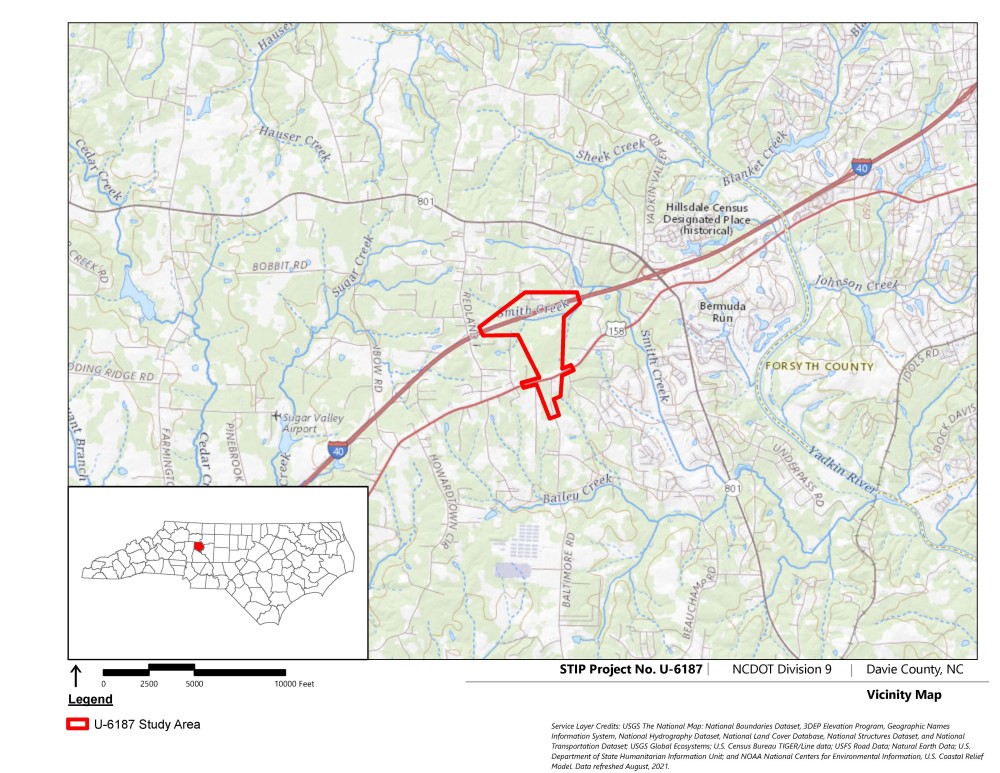
Project Vicinity Map:
Project Overview
The N.C. Department of Transportation proposes to extend Baltimore Road on a new alignment and construct an interchange at I-40 in Davie County.
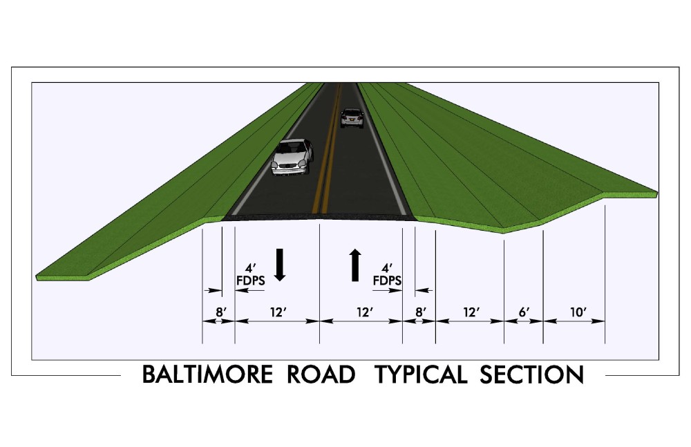
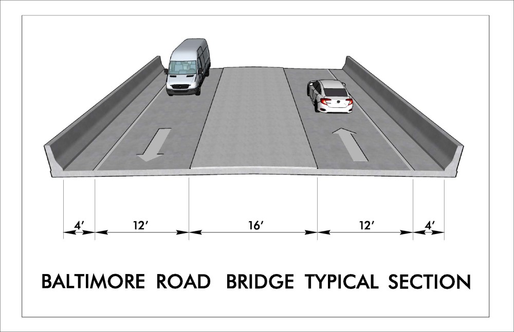
The new roadway would consist of 2-lanes. The existing Baltimore Road is a 2-lane undivided facility with a speed limit of 55 miles per hour (mph).
- The purpose of the project is to provide direct access to I-40 from the communities of Bixby, Redland, and the surrounding rural area.
The project will also:
- Provide direct routing to I-40 for industrial traffic. in accordance with local comprehensive and future land use plans.
- Improve mobility for local/regional travelers while maintaining residential cohesiveness.
Project Highlights
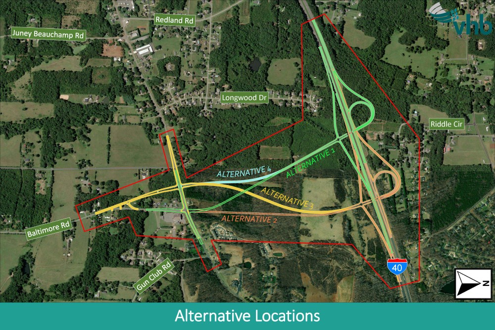
There are 5 alternatives including a no build (do nothing) alternative for the project.
Alternatives 1 & 4
- Alternatives 1 and 4 have the same proposed new I-40 interchange location, located southwest of Riddle Circle.
Alternative 1:
Baltimore Road is realigned from the existing location.
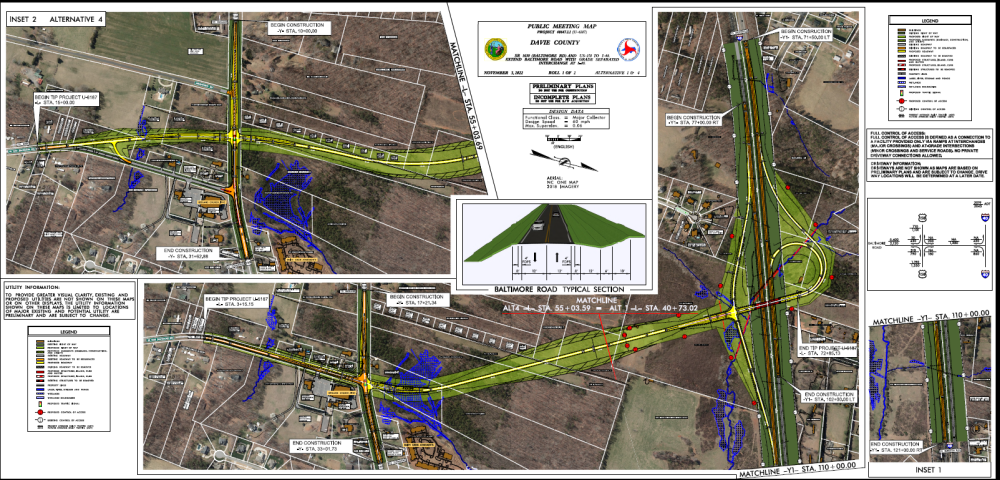
Alternative 4:
Baltimore Road realigned and extended.
Alternatives 2 & 3
- Alternatives 2 and 3 have the same proposed new I-40 interchange location, located southeast of Riddle Circle.
Alternative 2:
Baltimore Road is extended from the existing location.
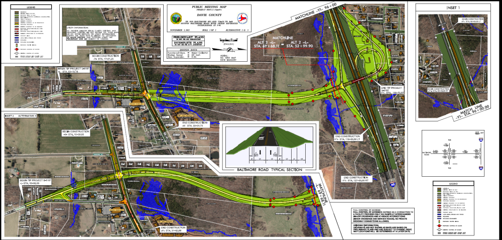
Alternative 3:
Baltimore Road is realigned and extended.
No Build Alternative
With the No-Build Alternative, Baltimore Road will not be extended and no I-40 interchange will be built.
Project Maps
Click on the links or the thumbnails below to view or download the maps.
Project Funding:
Activity | Costs* |
Right-of-Way Acquisition & Utility Relocation | $ 3.7 Million |
Construction Cost | $ 53.9 Million |
Total Cost | $ 57.6 Million |
*Costs as shown in currently adopted STIP, subject to change.
Project Timeline:
Milestone | Date* |
Public Meeting | November 2022 |
Preferred Alternative Chosen | December 2022 |
Final Environmental Documentation | February 2023 |
Right-of-Way Acquisition Begins | December 2023 |
Construction Begins | October 2025 |
* Future dates subject to change.
Comments:
NCDOT accepts comments throughout all planning, design, and construction phases of project development.
All comments will be taken into consideration, and carry equal weight, regardless of submittal method.
Comments for consideration during the current phase of project development were submitted before November 17, 2022.
PROJECT CONTACT INFORMATION
Candice Andre
Consultant Project Manager
VHB
940 Main Campus Drive, Suite 500
Raleigh, NC 27606
RESOURCES FOR PROPERTY OWNERS
Although the N.C. Department of Transportation works to minimize the number of homes and businesses displaced by a road project, it is inevitable, in many cases, that a certain amount of private property is needed. The following information explains right of way acquisition and answers questions about the process.
Right-of-Way Brochure Single Page Layout Folleto del Proceso de Adquisición de Bienes Raíces
Right-of-Way Frequently Asked Questions
Right of way Acquisition Process Videos
Title VI Feedback
To ensure we’re hearing from a broad set of voices, would you be willing to share (completely anonymously) some information about yourself?
If so, please click here https://publicinput.com/NCDOT-Title-VI-Form

